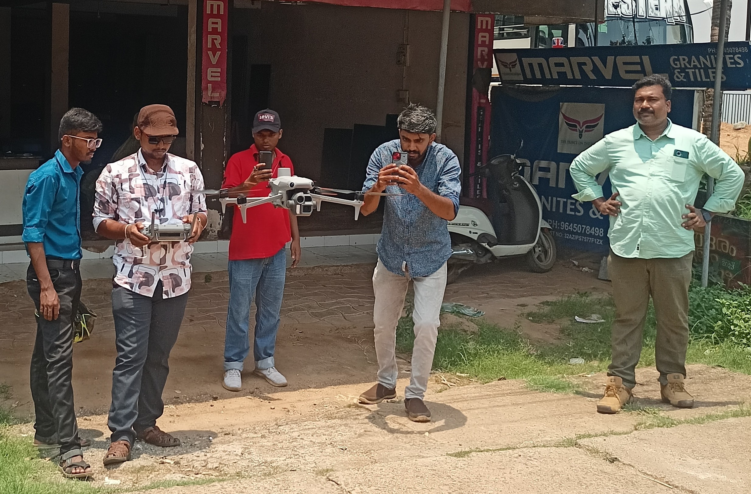
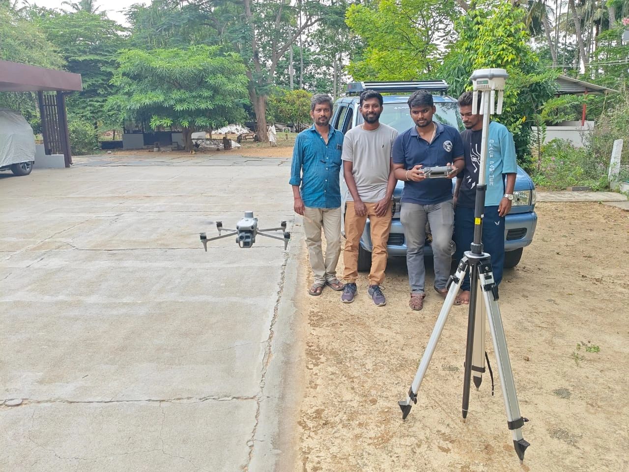
Aerial Survey
Successfully Completed Drone Mapping and Data Processing for 21 sq.km of Nanamukku Panchayat, Kerala Government, in April, Through the Opportunity Provided by Dedrone World, Coimbatore.
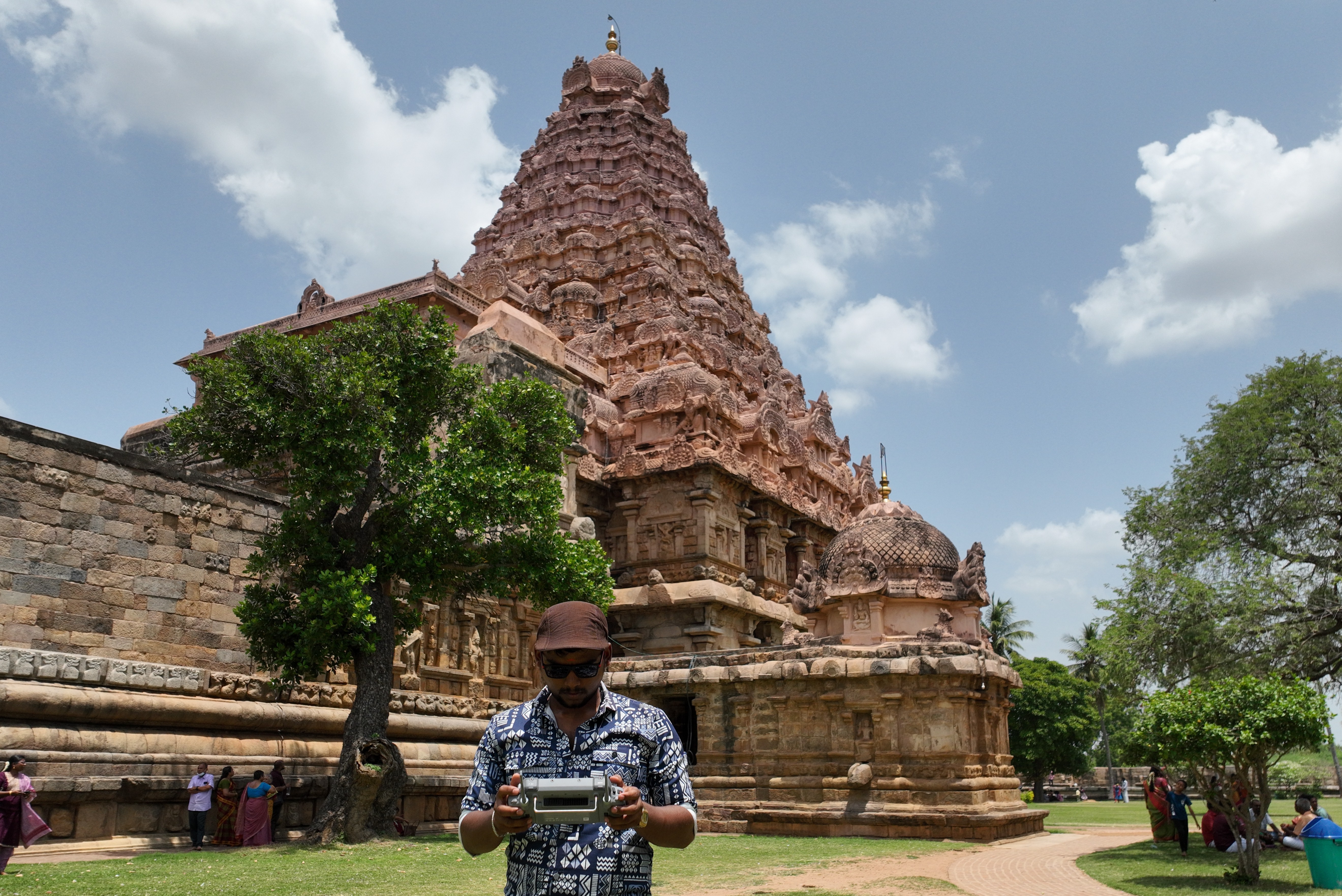
3D Modelling
Successfully Completed 3D Modelling for Gangaikondacholapuram to Archaeology Department, Tamil Nadu, Through the Opportunity Provided by Nevar System, Pondicherry
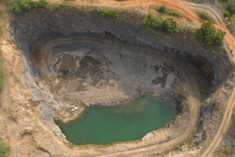
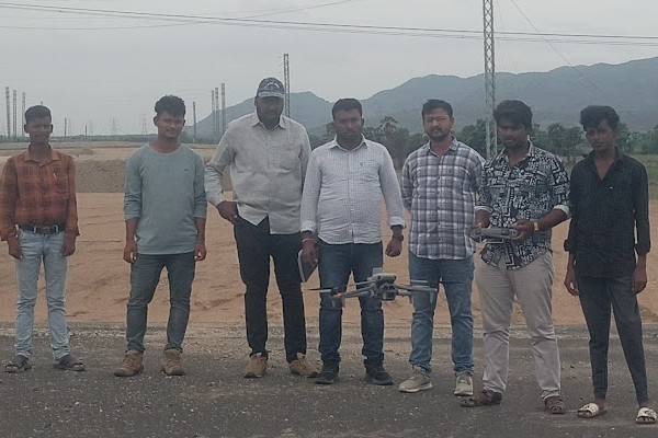
Aerial Survey
Successfully Completed Mines Survey in Erode, Villupuram, Krishnagiri, and Karur Districts, Submitted for Government Approval.

3D Modelling
Successfully Completed 3D Modelling Demo for NTCPWC (National Technology Centre for Ports, Waterways & Coasts) in Chennai, Through the Opportunity Provided by Geoaditya Technologies
Aerial Survey
Conducted Crop Monitoring for Tamil Nadu Agricultural University (TNAU) in Salem, Ensuring Accurate Assessment of Crop Health and Growth.
Surveillance
Provided Safety Surveillance for the PM Event on International Yoga Day 2025 in Vizag, Andhra Pradesh, Through the Opportunity Provided by GeotechnoValley, Salem.
Inspections
Successfully Completed Inspection of Over 450+Km of NHAI Highway Road Construction Projects Across Andhra Pradesh, Ensuring Compliance With Quality Standards, Safety Norms, and Project Specifications
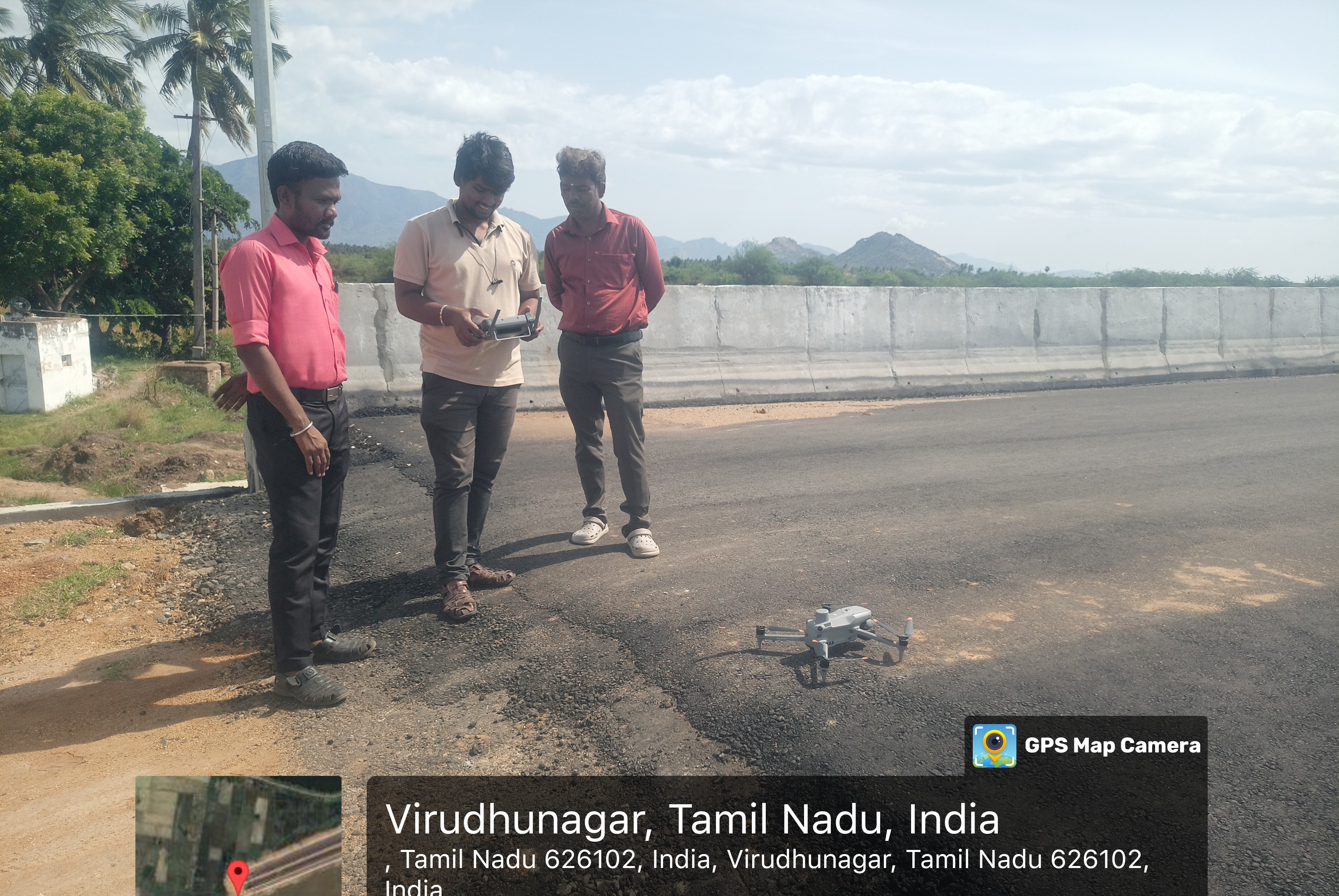
Inspections
Successfully Completed Inspection of NHAI Highway Road Construction Projects Across Tamil Nadu, Ensuring Compliance With Quality Standards, Safety Norms, and Project Specifications
Training
Provided Training to Theni Police in Support of the Police Department, Under the Guidance of Respected IPS Sivaprasad Sir, Through This Opportunity by Sigram Networks, Theni.
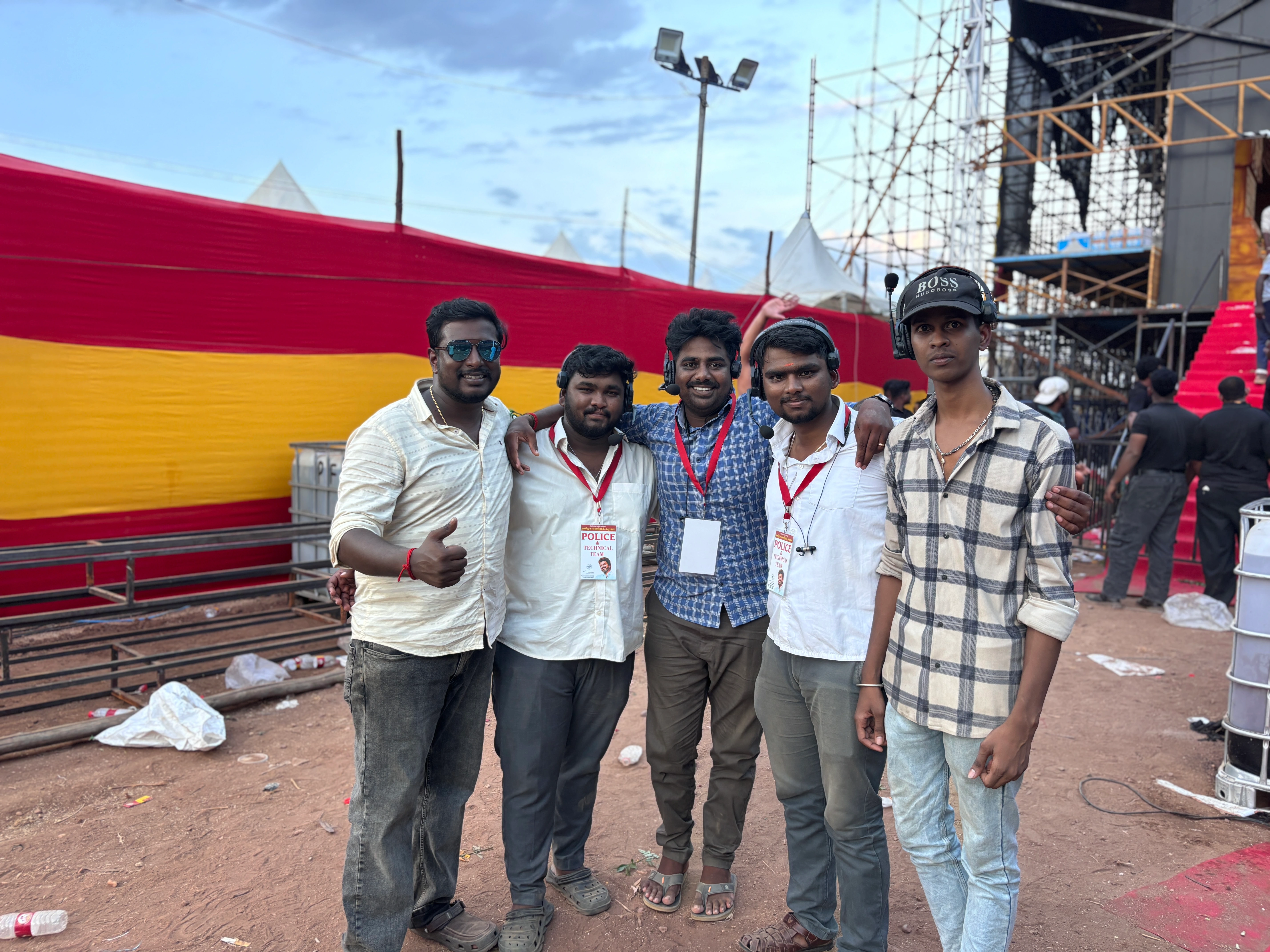
Surveillance
Successfully Provided Surveillance Support for Vijay's 2nd Manadu Event at Madurai to the Police Department, Through the Opportunity Offered by TVK.
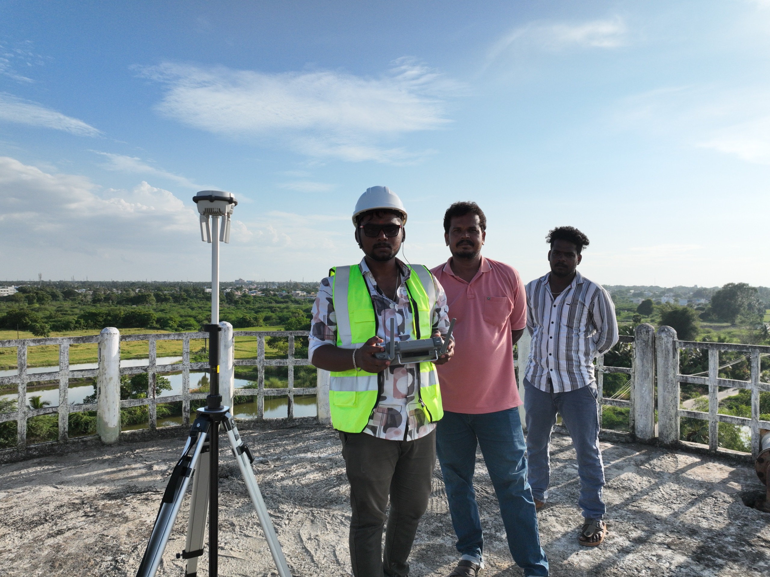
Aerial Survey
Our team, in collaboration with Veronautz Technologies, successfully worked on the Thanjavur Municipality Corporation Ward Development project. This opportunity enabled us to contribute to the planning and execution processes, supporting urban development initiatives for better infrastructure and community welfare.
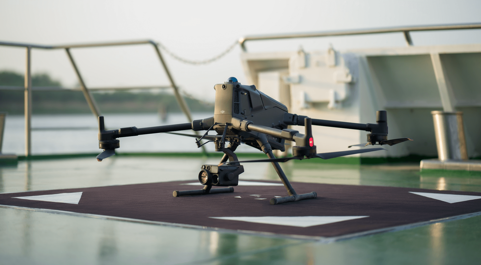
Aerial Survey
Excited to share a valuable opportunity in farming mapping with SeeTree Company, Israel, made possible through the support of Mr. Sabarinath Sakthivel. Our team successfully completed a 600-hectare RGB and D-RTK surveying project using advanced surveying drones integrated with the DRTK-3 system, delivering high-precision agricultural insights and data solutions.
Looking for Precise and Professional Drone Services? Contact us Today for a Free Quote Tailored to Your Needs. Our Team is Ready to Provide a Detailed and Customized Solution to Bring Your Project to Life. Whether it's Surveying, Mapping, or Inspections, Crest Aerro Drone Solutions is here to Assist You Every Step of the Way.
Anna Nagar, Namakkal-02.
+91 90437 77299
info@crestdrones.in
 Company Profile
 Company Brochure