Anna Nagar, Namakkal-02.
Mon - Fri : 09.00 AM - 05.00 PM
+91 90437 77299

Services

Our Services

Elevating Industries with Smart Drone Solutions

Aerial Surveying & Mapping

  • High-Resolution 2D & 3D Mapping
  • RTK/PPK-Enabled Precision Surveying
  • LiDAR Data Acquisition for Accurate Terrain Modeling
  • Read More

    Industrial & Infrastructure Inspections

  • Powerline, Railway, and Bridge Inspections
  • Wind Turbine and Solar Panel Monitoring
  • Structural integrity assessments with thermal imaging
  • Read More

    Surveillance & Security Monitoring

  • Live Aerial Monitoring for Enhanced Security
  • Crowd Control and Event Surveillance
  • Emergency Response and Disaster Management Support
  • Read More

    Agriculture & Environmental Solutions

  • Precision Agriculture for Crop Health Analysis
  • Forestry and Land Management Surveys
  • Environmental Monitoring for Sustainable Solutions
  • Read More

    Commercial Videography & Aerial Cinematics

  • High-Resolution Aerial Photography and Cinematography
  • Filming for Real Estate, Tourism, and Corporate Promotions
  • Dynamic FPV Drone Footage for Immersive Experiences
  • Read More

    Post-Processing & Data Analytics

  • Advanced Image Processing and Orthomosaic Generation
  • Digital Elevation Models (DEM) and Digital Surface Models (DSM)
  • AI-Powered Insights and 3D Modeling for Actionable Data
  • Read More
    Why Choose Us!

    Complete Drone Solutions for Every Industry

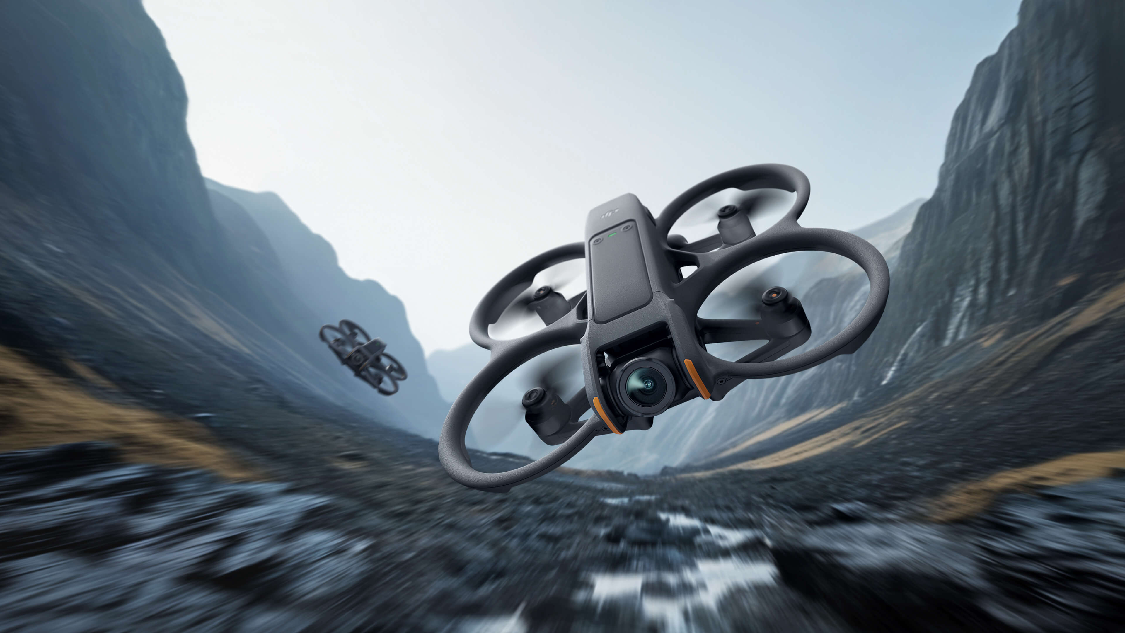
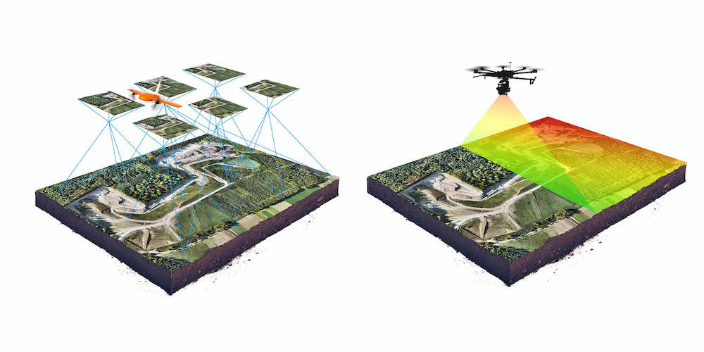
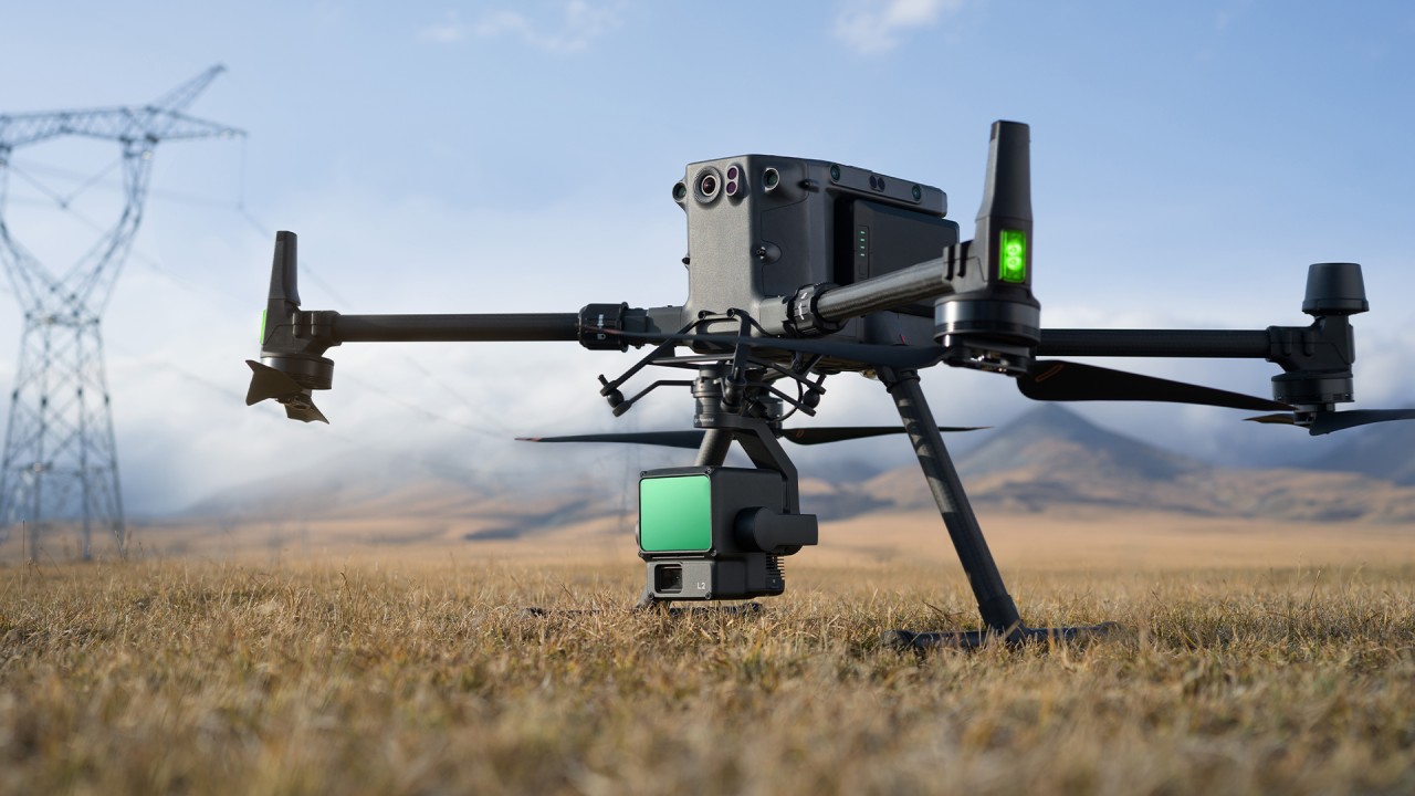
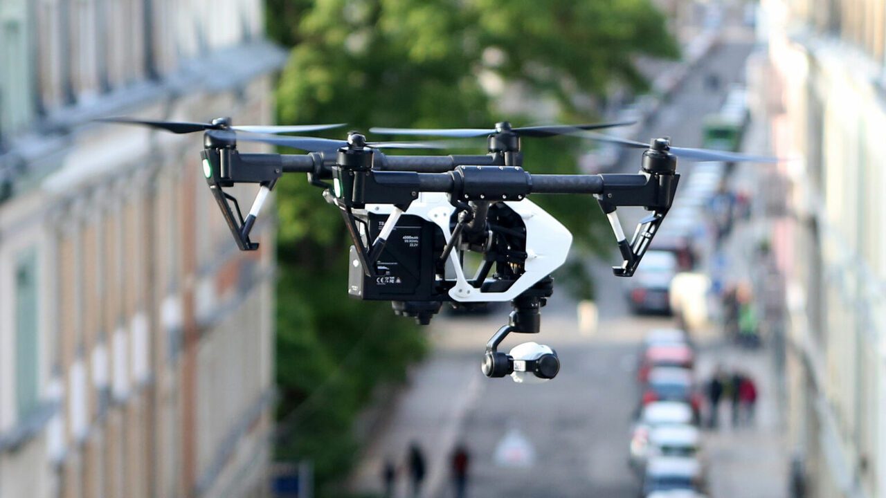
    We Deliver Exceptional Drone Services Backed by Unparalleled Expertise, Advanced Technology, and A Commitment to Innovation. Our Dedication to Quality and Customer Satisfaction Ensures that Every Project Achieves Outstanding Results with Precision and Reliability.

    Quality

    Services

    Expert

    Team

    Build

    Network

    Customer

    Support
    Chat with us