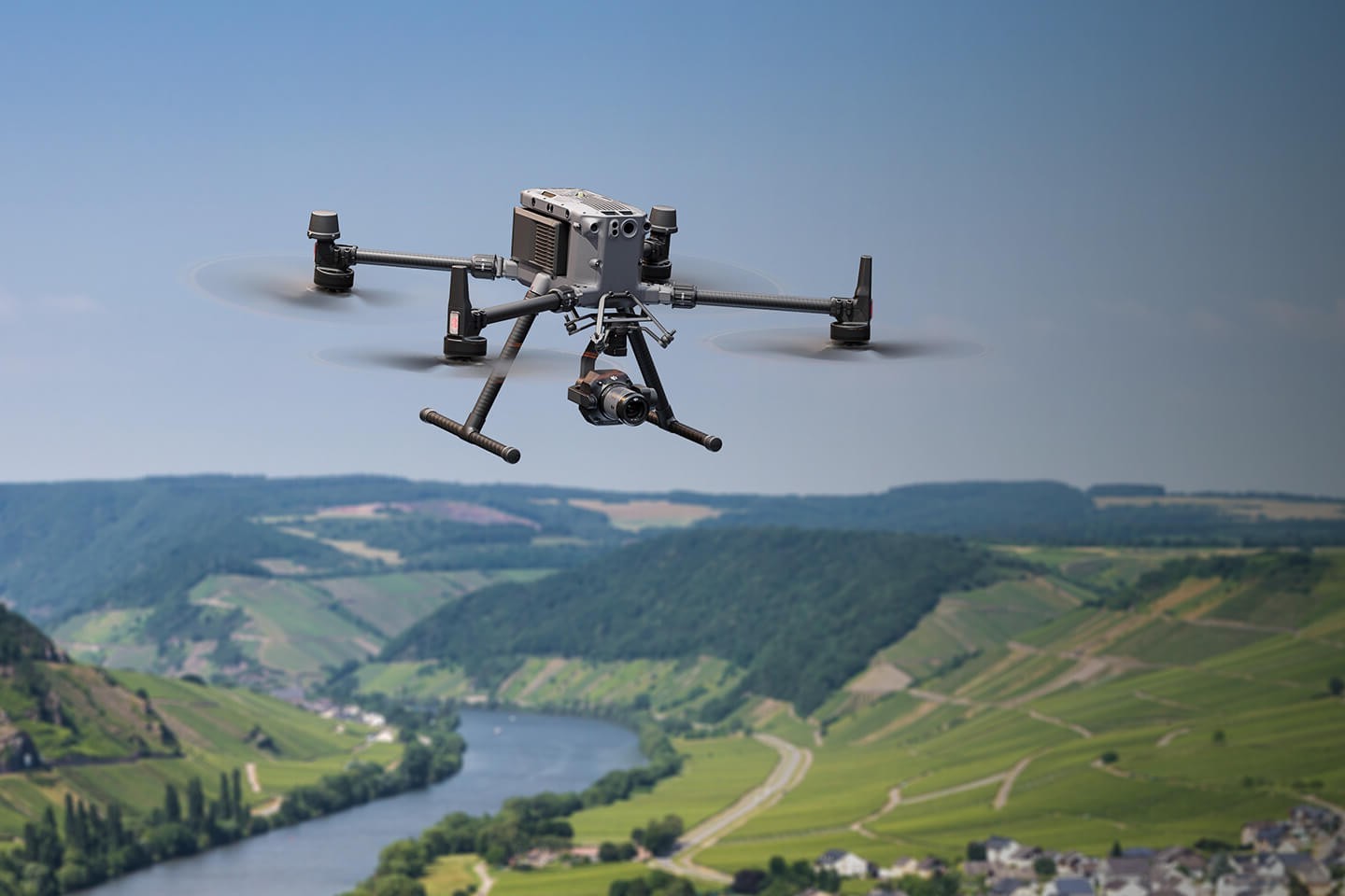
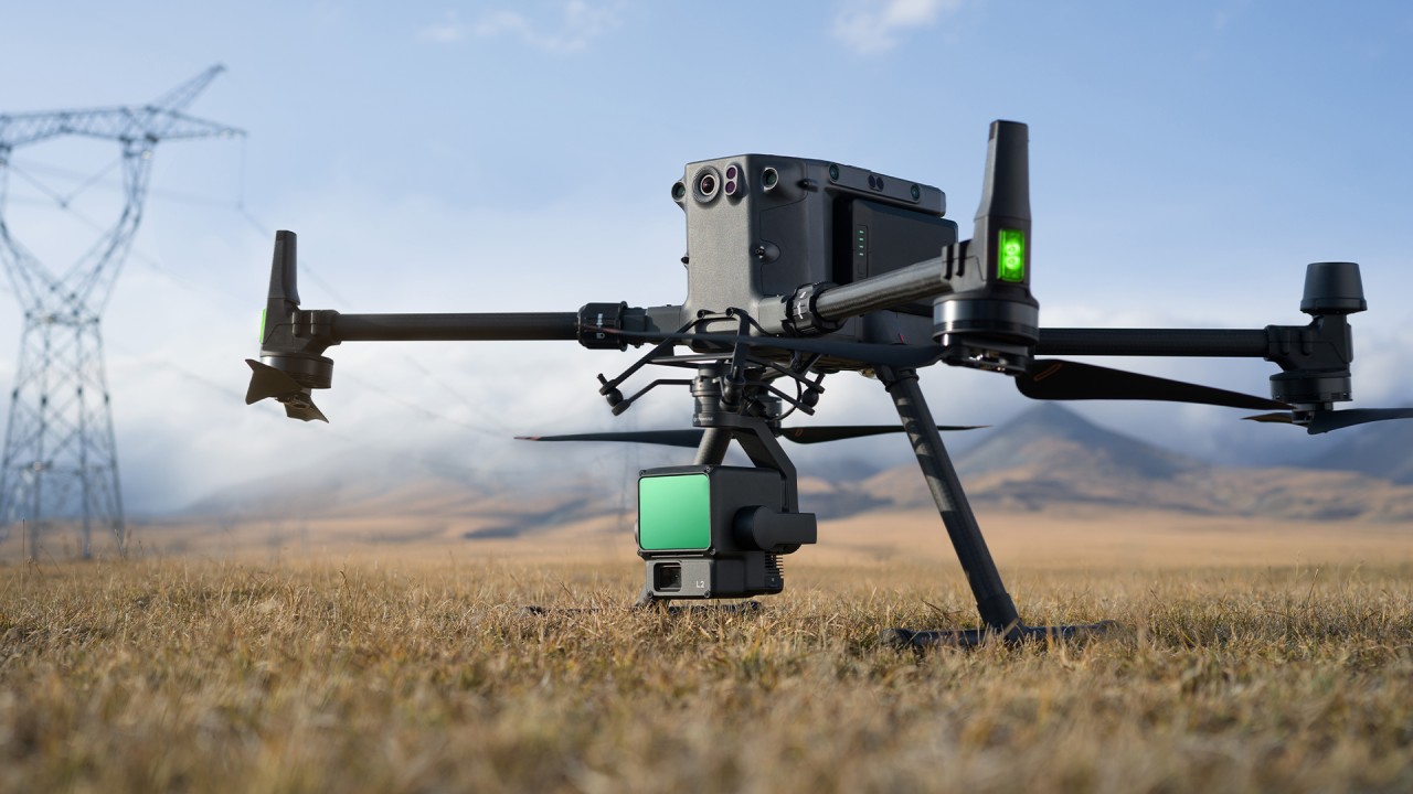
We Offer High-Accuracy Aerial Surveying and Mapping Services Using the Latest Drone Technology Equipped With RTK/PPK And Lidar Sensors. Our Solutions Provide Detailed Insights for Industries Requiring High-Resolution Data and Terrain Modelling.
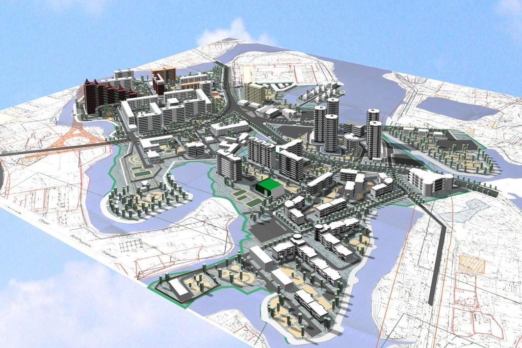
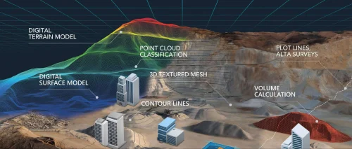
2D & 3D Mapping – Orthomosaic Imaging with Georeferenced Data
Topographic Surveys – Elevation and Terrain Analysis for Land Development
LiDAR Surveys – High-Precision Laser Scanning for Vegetation and Terrain Mapping
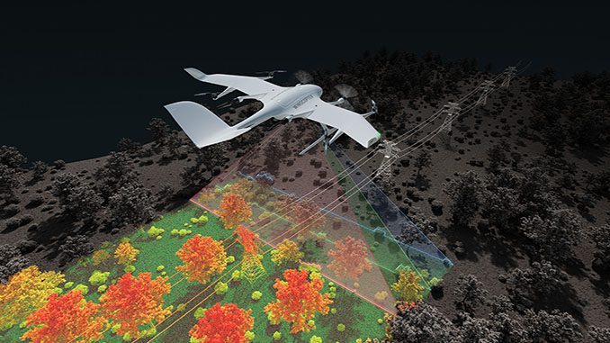
Linear Mapping – Road, Railway, and Power Line Corridor Mapping for Infrastructure Planning
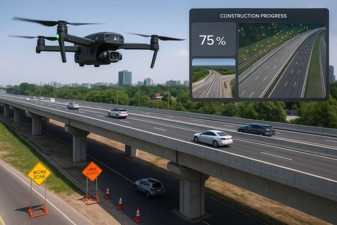
Construction & Land Development – Site Planning and Volumetric Analysis
Mining & Quarry Monitoring– Stockpile Measurements and Excavation Planning
Deliverables– High-Resolution Maps, DEM/DSM Models, Contour Maps, 3D Models, and Volumetric Reports.

Anna Nagar, Namakkal-02.
+91 90437 77299
info@crestdrones.in
 Company Profile
 Company Brochure